Aerial photography used to be a differentiator for high-end listings. It isn’t anymore. It’s table stakes. Buyers expect it on any listing above entry level, and listings without it increasingly look like the agent isn’t trying.
The question isn’t whether to shoot aerial. It’s which shots actually sell the property.
Below are the 10 drone shots that belong in every serious real estate listing package.
1. The Straight-Down (Nadir) Overview
What it communicates: Property boundaries, lot size, and layout from directly above.
The straight-down shot is the most underused aerial in real estate and one of the most useful. It shows buyers exactly how the property sits on the lot: where the driveway runs, how the backyard is oriented, how much of the lot is usable versus wooded. For large or irregularly shaped parcels, it’s irreplaceable.
When to use it: Any property where lot size or layout is a selling point. Acreage, corner lots, properties with unusual configurations.
2. The Front Elevation Aerial
What it communicates: Curb appeal in full context. The home’s facade with the street, landscaping, and neighborhood visible.
Ground-level curb shots are limited by perspective. The drone version at 30–40 feet shows the full roofline, the depth of the setback, the quality of the landscaping, and the surrounding street, all in one frame. It’s the shot that makes a well-maintained exterior look its best.
When to use it: Every listing. This is the aerial equivalent of the standard curb shot and should replace it in the lead image sequence.
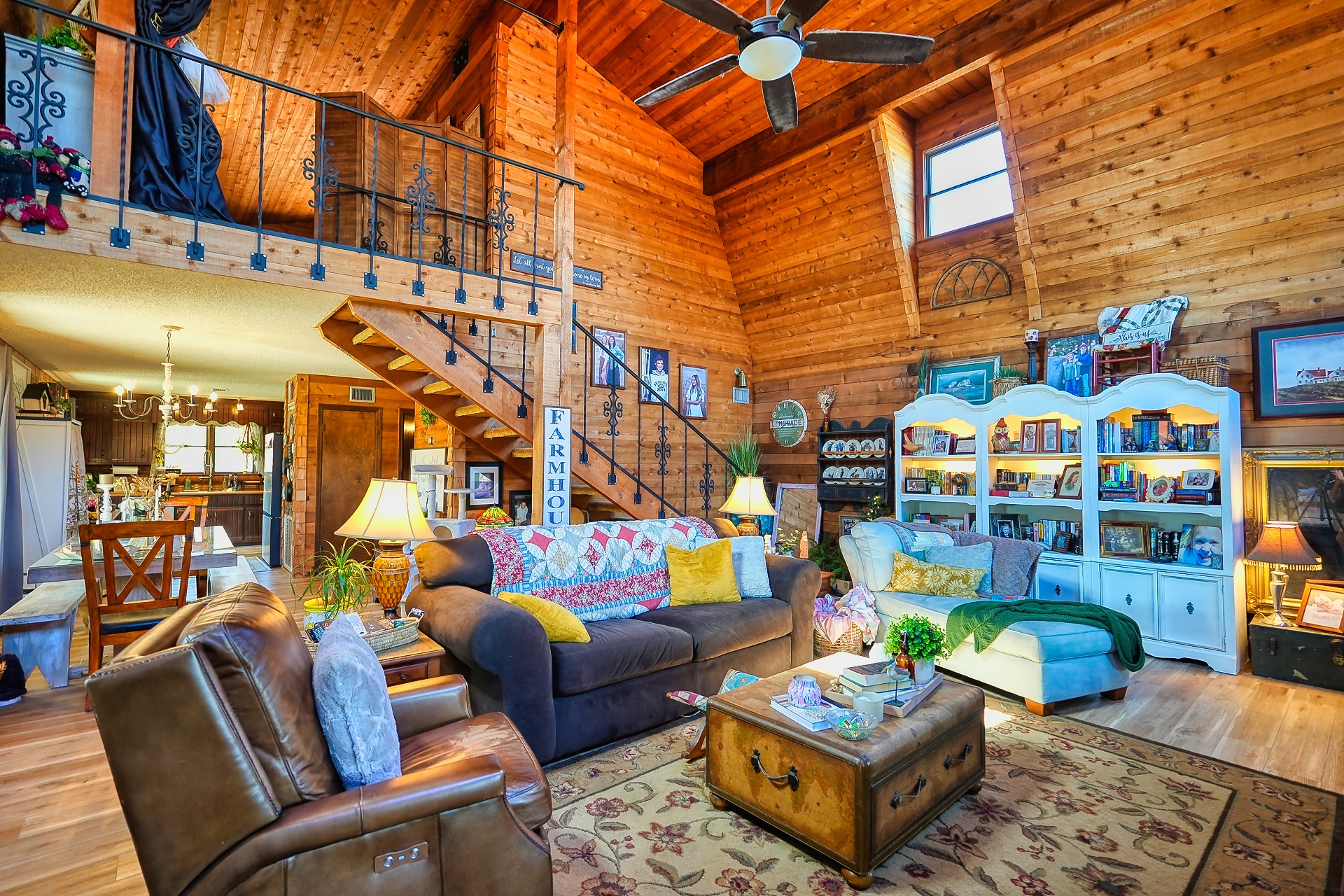
3. The Backyard and Outdoor Space Reveal
What it communicates: The full scale of the outdoor living area: pool, patio, yard, outbuildings.
Backyards photograph poorly from the ground. A standard ground-level shot can make a generous backyard look cramped, especially if there’s a fence line cutting across the frame. From above at 20–30 feet, the full outdoor space opens up: pool, patio furniture, fire pit, detached garage, garden beds. Buyers making decisions about outdoor entertaining space need this shot.
When to use it: Any property with real outdoor space. Non-negotiable if there’s a pool.
4. The Location Context Shot
What it communicates: Where the property sits relative to schools, parks, shopping, and major roads.
Buyers buy neighborhoods as much as they buy houses. A high wide aerial at 200–300 feet that shows the property in the context of the surrounding area (the elementary school three blocks over, the greenway access at the end of the street, the distance to the interstate) answers questions that no written description handles as well.
When to use it: Every listing, but especially properties where location is a primary selling point: walkable neighborhoods, school districts, proximity to employers or amenities.
5. The Sunrise or Golden Hour Exterior
What it communicates: The property at its most visually compelling: warm light, long shadows, dimensional facade.
Midday light is flat. It kills texture, flattens color, and makes even beautiful properties look ordinary. The same property shot at golden hour (30–45 minutes after sunrise or before sunset) looks like a completely different house. The facade gains dimension, the landscaping glows, the sky adds drama.
Schedule aerial shoots for early morning or late afternoon whenever possible. The 20-minute window around golden hour produces the hero shot.
When to use it: Lead image, MLS thumbnail, marketing materials. This is the shot that earns the click.
6. The Roof and Condition Overview
What it communicates: Roof condition, age indicators, HVAC placement, and any visible maintenance considerations.
This one serves a dual purpose. It’s a marketing shot that shows buyers the full roofline and architecture, and it’s a transparency tool that builds trust. Buyers and their agents are going to look at the roof anyway. Showing it confidently upfront signals the seller has nothing to hide.
When to use it: Any listing where the roof is in good condition and worth showing. Skip it if the roof needs replacement. That conversation should happen differently.
7. The Acreage and Land Boundaries Shot
What it communicates: The true extent of the property, for rural, agricultural, or large residential lots.
For properties with significant acreage, ground photography can’t communicate scale. A drone at 400 feet showing the full parcel boundary, tree lines, pasture, creek, or road frontage tells buyers something no ground photo or written description can convey.
When to use it: Rural properties, horse farms, lake lots, any listing where land is a primary value driver.
8. The Neighborhood Amenity Approach
What it communicates: Proximity to community amenities: pool, clubhouse, greenway, lake access, golf course.
For listings in planned communities, subdivisions with amenities, or neighborhoods with notable nearby features, a drone approach shot from the amenity toward the property (or vice versa) establishes proximity in a way that’s immediately legible to buyers.
When to use it: Listings in amenity-rich communities. Golf course lots, lake access neighborhoods, HOA communities with pools or clubhouses.
9. The Cinematic Flyover for Video
What it communicates: The full property story: exterior, setting, and approach, in motion.
For the listing video, the aerial flyover sets the opening scene. Starting high and wide, then slowly descending toward the property before cutting to interior footage, gives the viewer a sense of place before they ever see a room. It’s the establishing shot that every good property video needs.
When to use it: Any listing video. The flyover is to listing video what the hero shot is to the photo package: the piece everything else is built around.
10. The Drone-to-Door Transition
What it communicates: A seamless handoff from exterior to interior that tells a continuous visual story.
This is the most technically demanding shot on the list and the most rewarding when executed well. The drone descends toward the front entry and ends at door height. Then the video cuts to interior footage that picks up from the same perspective. Done right, it feels like the viewer is walking into the property.
Used at the opening of a listing video, it sets the tone and production quality for everything that follows. Buyers who see a smooth drone-to-door transition before the interior footage subconsciously assign higher value to the property and the listing.
When to use it: Listing videos for properties at any price point where first impressions matter. Which is all of them.
Building Your Aerial Shot List
Not every listing needs all ten. A standard residential listing in a suburban neighborhood needs shots 1, 2, 3, 4, 5, and 9 at minimum. An acreage property adds 7. A community with strong amenities adds 8. A luxury listing where production quality matters most gets all ten.
The agent who shows up with a complete aerial package (context shots, golden hour exterior, cinematic video) is the agent who wins the listing presentation and gets the price.
If you’re an agent in Georgia and you want aerial coverage for your next listing, reach out for a quote or call 678-800-1216. We serve the greater Atlanta area from Canton, South Georgia from Tifton, and the Gulf Coast from Panama City Beach.
NearDrone is a FAA Part 107 certified drone photography and video studio specializing in real estate listings and STR property content across Georgia and Florida.